10 Best Places To Run In Dallas, TX

Are you looking for a great place to run in Dallas? In this article, I share the 10 best places to run in Dallas, Texas.
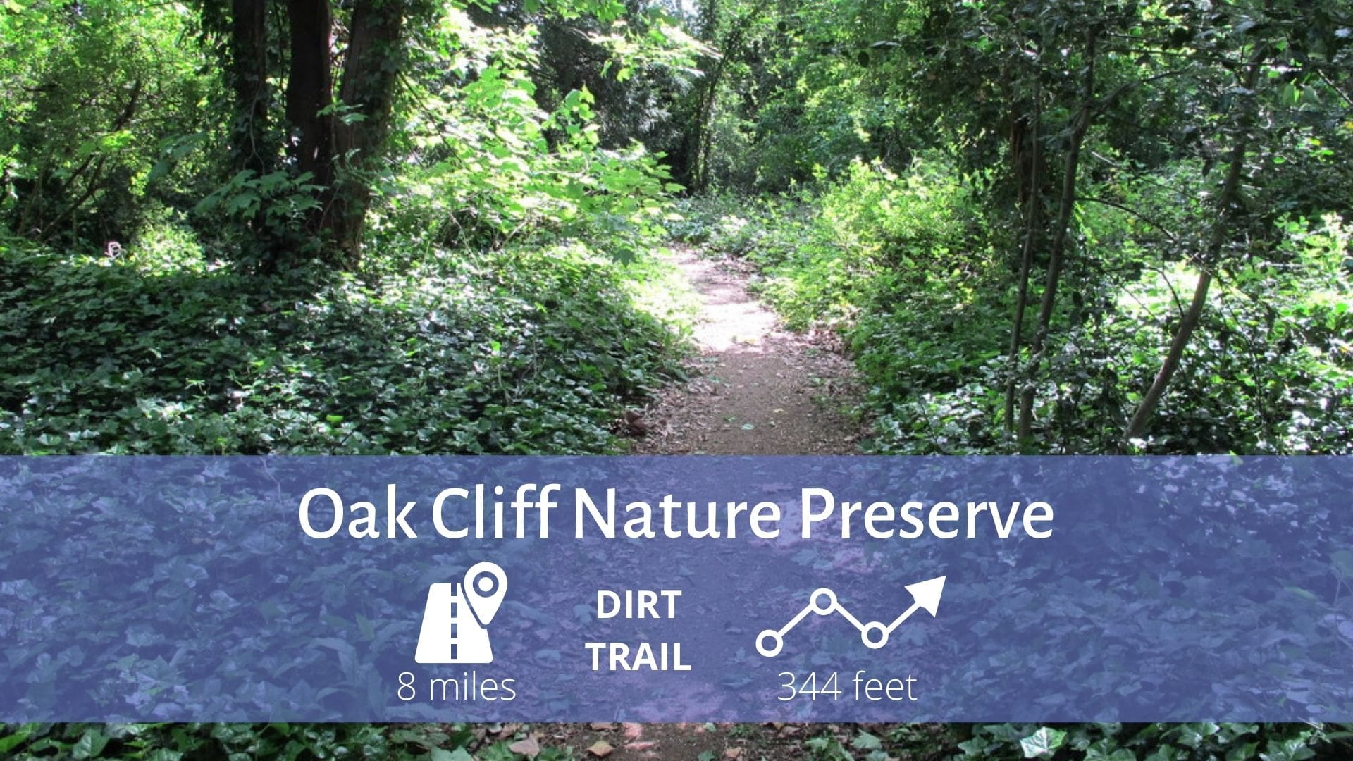
Oak Cliff Nature Preserve
Trails: hike and bike trails
Oak Cliff Nature Preserve (OCNP) is a 121-acre oasis of green space located right in the middle of urban Dallas. There are over eight miles of multi-use hike and bike trails coursing through the Preserve. Open dawn until dusk, bird and plant enthusiasts, bicycle riders of all ages, and those just wishing for peace and quiet visit the preserve to connect with nature every day.
The trail consists of a variety of open fields and wooded areas. In the spring the fields are wall-to-wall wildflowers.
Directions: To get there from Interstate 35E, take Illinois west and just past S. Hampton make a left on Pierce. To get there from Loop 12, take Illinois east and just past Westmoreland, turn right on Pierce.
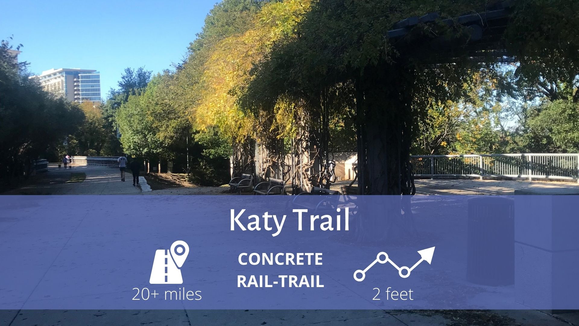
Katy Trail
Trail end points: Lyte Street at AA Center arena and Ridgewood Trail at Mockingbird Lane bridge
The Katy Trail in Dallas is a premier urban trail, linking the business district with recreational opportunities, shopping, and residential neighborhoods. The corridor is the perfect non-motorized route for families to commute between home and work or school, as well as to recreation and entertainment venues.
In addition to its paved surface, the 3.5-mile route includes an adjacent soft-surface track for runners and walkers. The pathway runs between Dallas' West End and the AA Center arena, traversing the city's urban core past Knox Street, Southern Methodist University, and the Mockingbird DART Station.
There are plans to link the Katy Trail from the McCommas Boulevard area with the White Rock Lake trails. In the meantime, a dedicated lane is being constructed so that you can continue north by crossing North Central Expressway via the McCommas Boulevard overpass. Eventually, a suspension bridge over Mockingbird Lane will allow easier access to the Katy Trail and increase the distance for cyclists.
The Katy Trail is a jogging, walking, inline skating, and bicycling path that runs through the Uptown and Oak Lawn areas of Dallas, Texas (USA), following the path of the old Missouri-Kansas-Texas Railroad, which was known as MKT or the Katy.
White Rock Lake
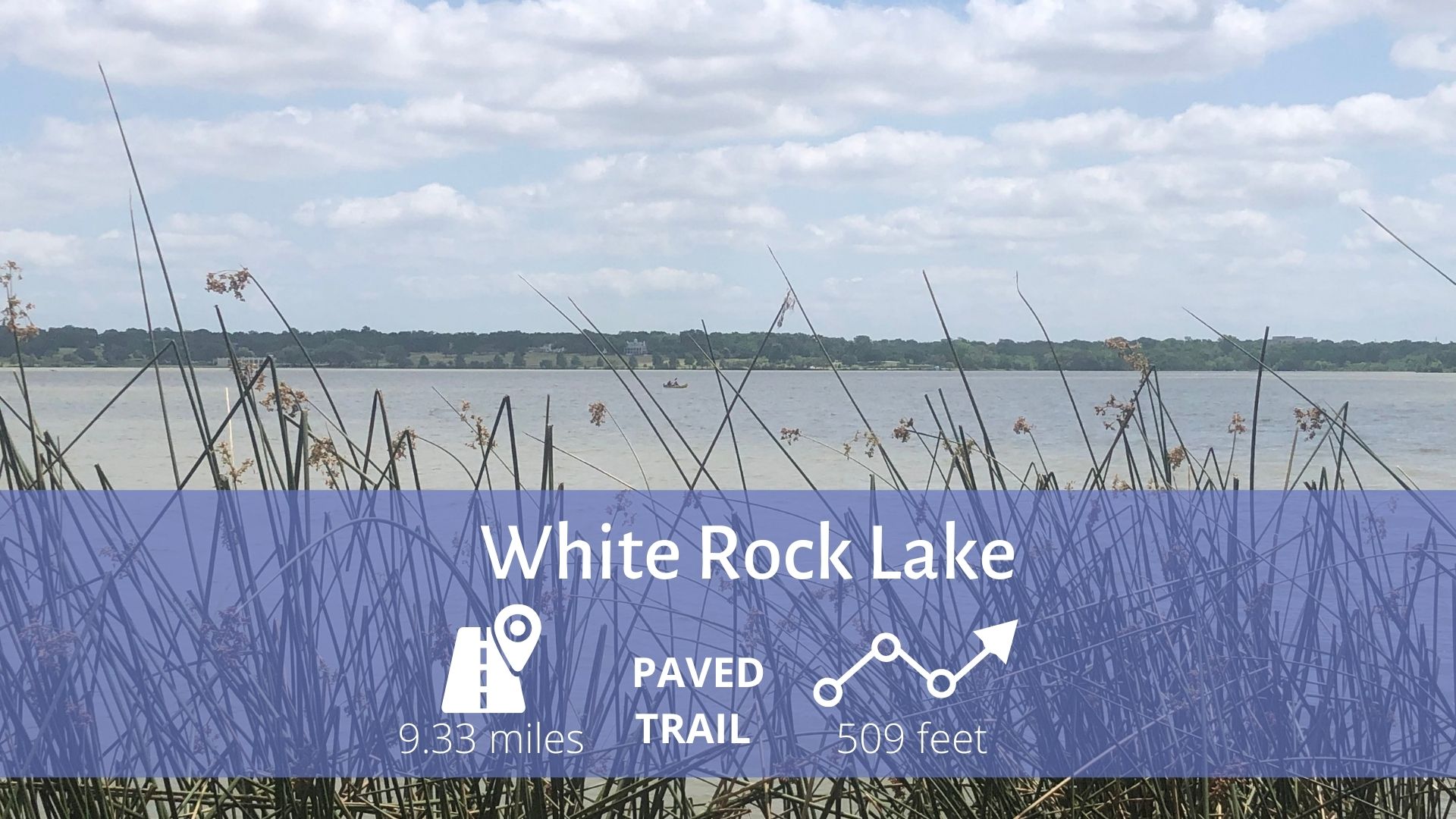
White Rock Lake is a reservoir located in Northeast Dallas, Texas (United States). The lake was formed by damming White Rock Creek, which today widens into the lake before continuing south out of the spillway and emptying into the Trinity River. The lake covers 1,254 acres (5.1 km2) in the East Dallas community.
The lake is surrounded by White Rock Lake Park, which features a 9.33 mile (15 km) trail for hiking, running, and bicycling, the Bath House Cultural Center, and the Dallas Arboretum and Botanical Garden. There are several fishing piers and sailing is permitted.
Most runners start their journey at the Big Thicket cabin, where you can follow the yellow line all the way around the lake on an asphalt trail. The loop is slightly over nine miles – and look out for cyclists, they take no prisoners. If you get thirsty (which you will), there are water fountains all the way around the trail – you can have that cold beer later.
Bachman Lake Trail
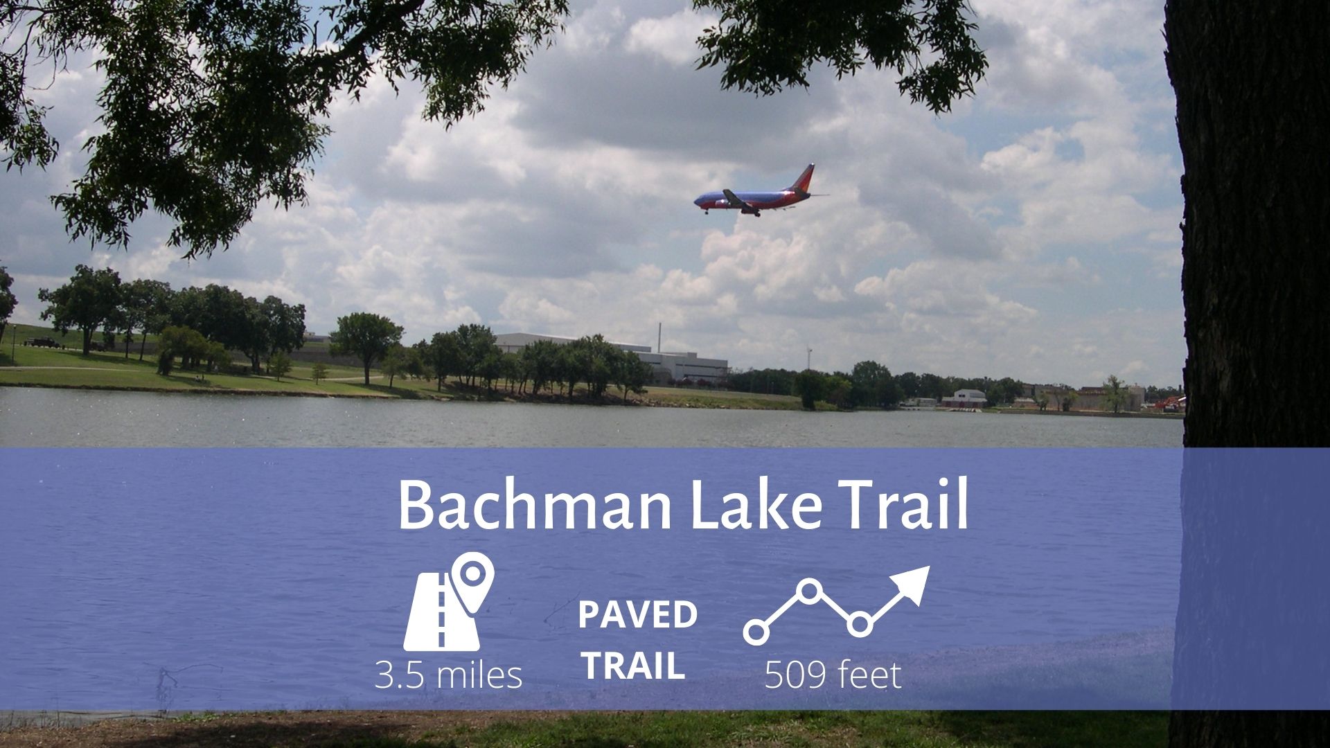
This trail is paved with a mixture of concrete and asphalt and runs through parkland around Bachman Lake.
There is an exercise circuit with 16 stations positioned along the trail.
As the trail meanders along the northern bank, you may see various species of geese and ducks, a grove of bald cypress trees, or sculling on the lake.
The southern bank of the lake offers a close-up view of airplanes landing at and taking off from Love Field Airport.
Cedar Ridge Preserve
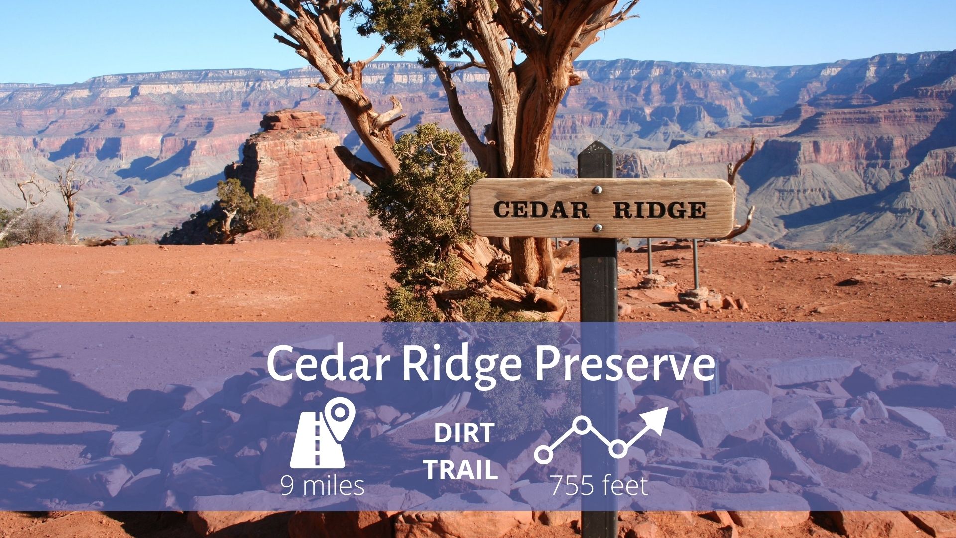
The Cedar Ridge Nature Preserve, previously called the Dallas Nature Center, is a natural area that covers 600 acres. It is located between Mountain Creek Parkway and FM 1382, only a short drive from downtown Dallas. Here you will find native trees, plants, and grasses that provide a natural habitat for native pollinators. Bird and butterfly watching are popular activities in the park, and the rare black-capped Vireo can be found here.
The preserve offers 9 miles of hiking trails with many easy trails to choose from in addition to some more challenging hikes, so there is something for everyone, including those who want to get a great workout.
Turtle Creek and Highland Park Area
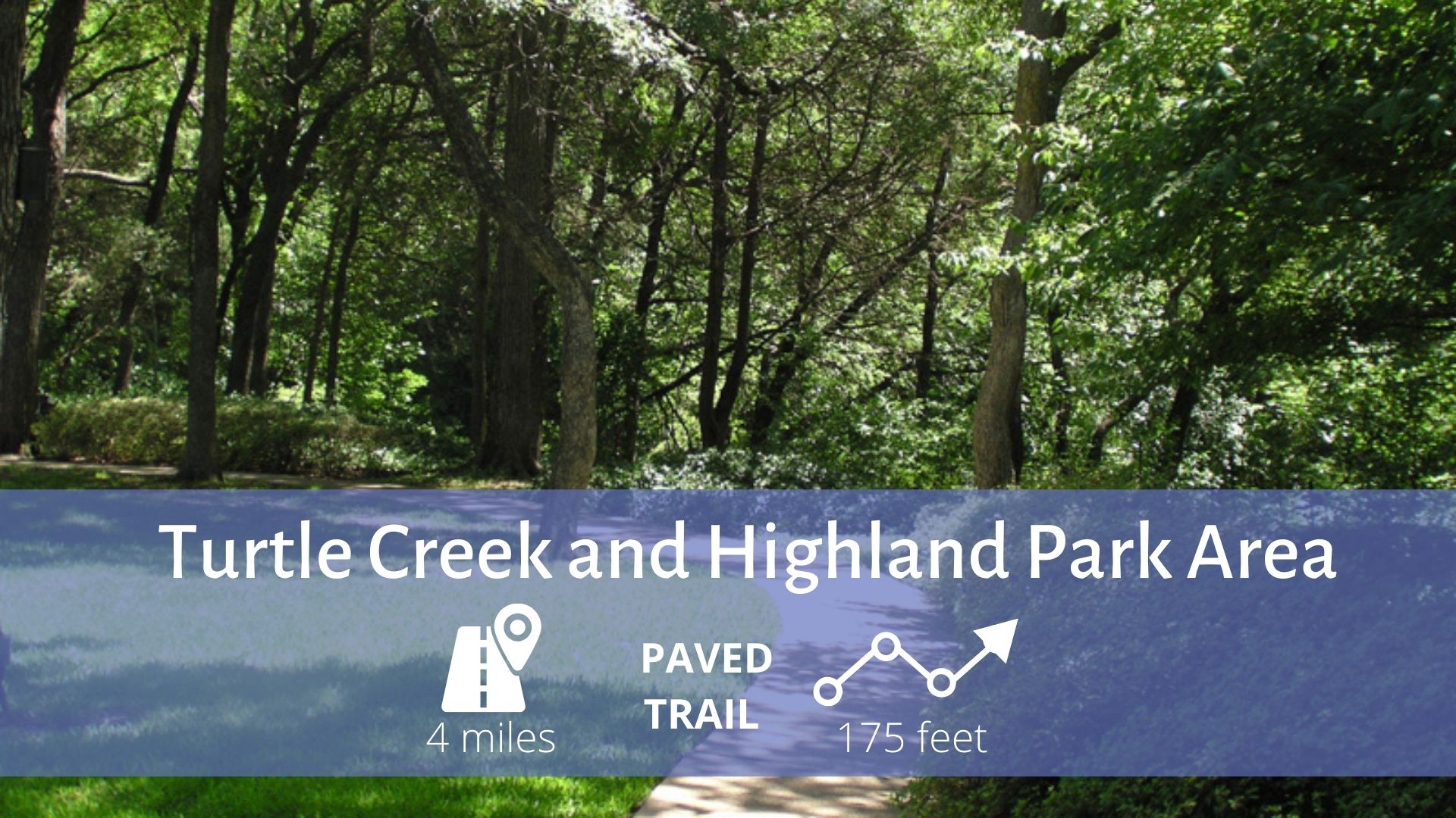
The Turtle Creek and Highland Park areas are located in one of Dallas’ most beautiful neighborhoods. Nestled among beautiful homes with gorgeous landscapes and fountains, the Turtle Creek park is a great location to get a few miles in.
A popular spot just off the Santa Fe trail and near White Rock Lake and the Arboretum is The White Rock Alehouse. Or, finish off your run with a snack or a drink along Main St. in Deep Ellum.
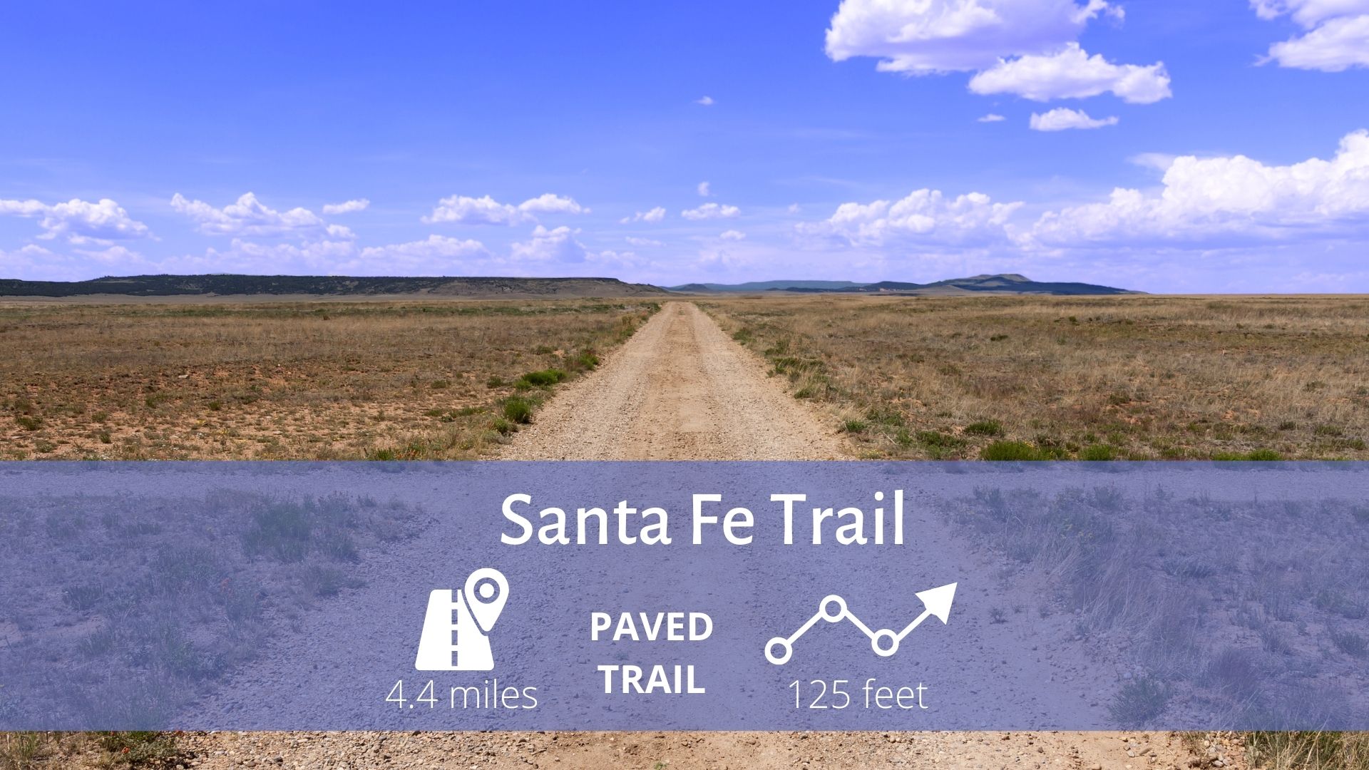
Trinity Skyline Trail

Please heed all construction and warning signs when utilizing trails.
Lakeside Park
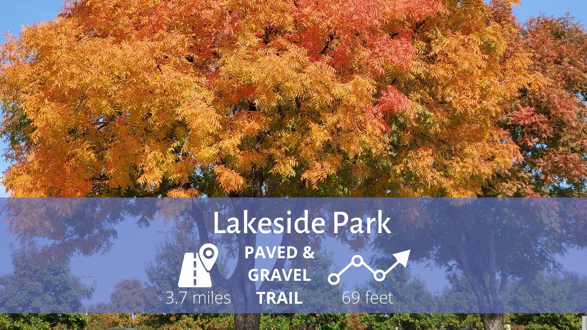
The Run
Start at Turtle Creek Park in Oak Lawn to move onto Turtle Creek Trail. Turtle Creek Trail is 2.1 miles in total, but you’ll start at the northern end.
Run north on the trail running alongside the creek. When the trail ends, move onto the sidewalk on Turtle Creek Blvd. Turtle Creek Blvd will turn into Lakeside Dr. Make a right at Armstrong Ave to keep moving north on Lakeside Dr towards Exall Lake.
Exall Lake may be small, but it’s also scenic. While you’re running through Lakeside Park in Dallas, make sure to get up close to the water. You’ll see ducks and other fauna.
Also, look out for the bridge that crosses over the Turtle Creek Dam. Walk to the other side of the bridge to find a hidden teddy bear park. Once you hit Beverly Dr, turn back around for the full 3.7 miles. You’ll finish right back in Turtle Creek Park.
Boulder Park Trail
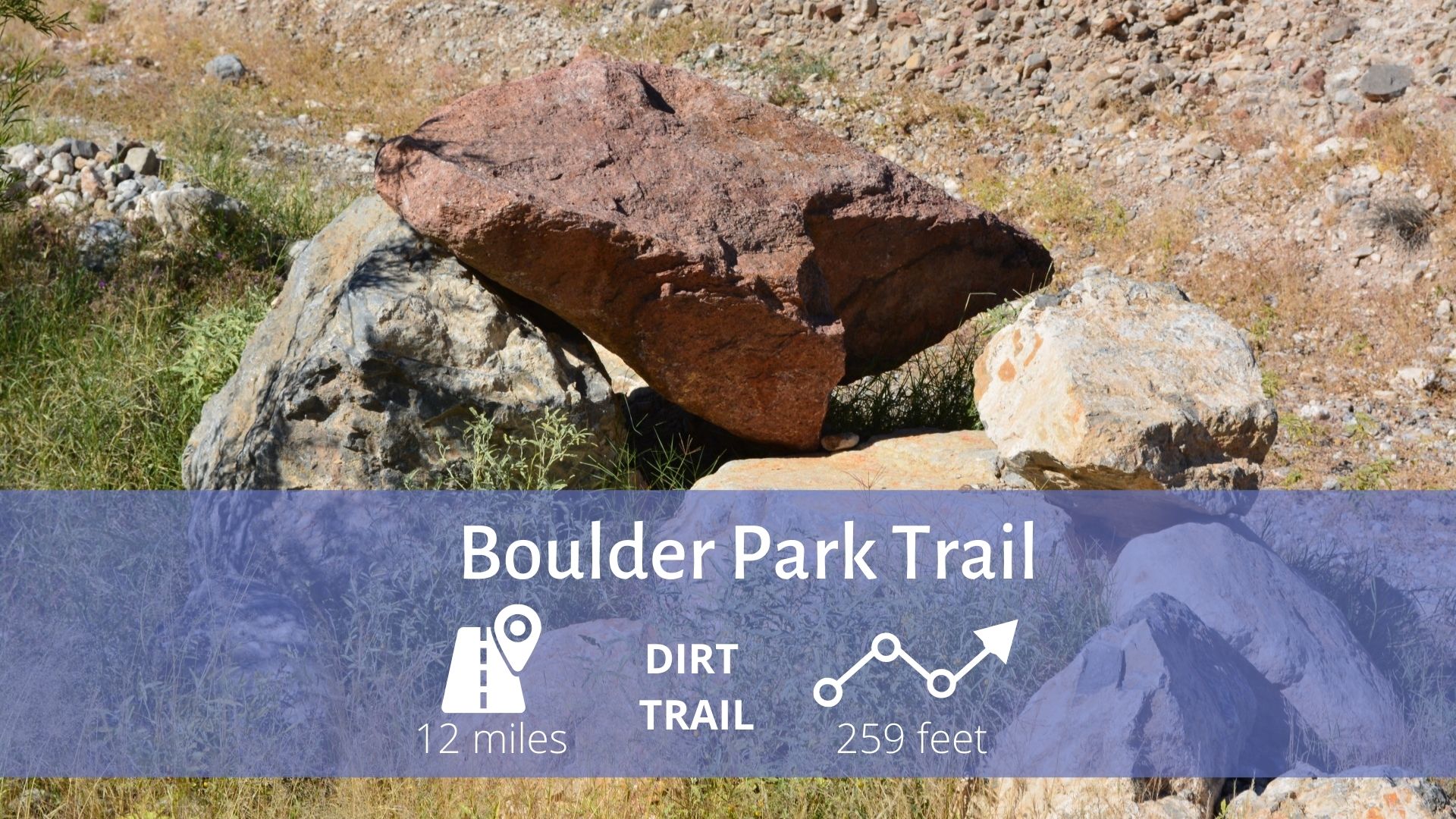
Boulder Park’s stacked loop system is well marked with Red and Blue arrows. The Red arrows indicate the directions for the whole trail (over 12 miles), and indicate technical sections. Blue arrows indicate bypasses for the technical sections and following these will cut the total trail distance down to about 6 miles.
This trail system features open fields, wooded areas, rocky ascents and descents, and creek crossings.